Meghalaya is immensely beautiful. I have already written about the Sacred Forest of Mawphlang in an earlier blog. The beauty of the forest was very unique. But when I visited the Indo-Bangladesh border, I witnessed a different kind of beauty – river Umngot.
Umngot is called the Transparent River by many. I prefer to call it the Emerald River. So green and so glistening is the water of Umngot, that only an emerald can match it’s gleam!
The above photo was taken at Dawki.
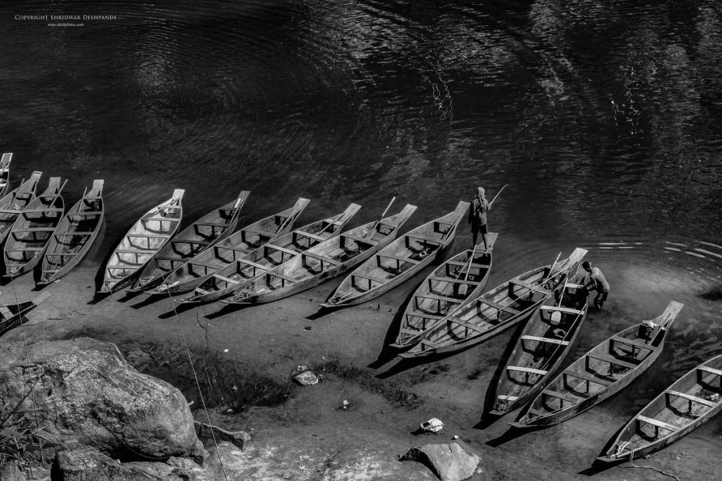
The drive from Shillong to Dawki is a long one, specially with the bad road conditions. Luckily, the weather on that day was clear and I hoped to see the transparent river in all its beauty. But when we reached, we saw a river that was green! At the onset I could not see any transparency to the water. But whether transparent or not, what I saw was nothing short of breath-taking. A sprawling river looking deep green on one side and shining silver on the other with hundreds of canoes just standing as if anchored.
Let me give a quick idea about the setting.
The vehicles are parked on the road which is almost like a cliff. And when you look down you see those uneven, odd shaped steps made out of large boulders.
They go down almost vertically. Standing on the top one gets a beautiful view of both the river banks.
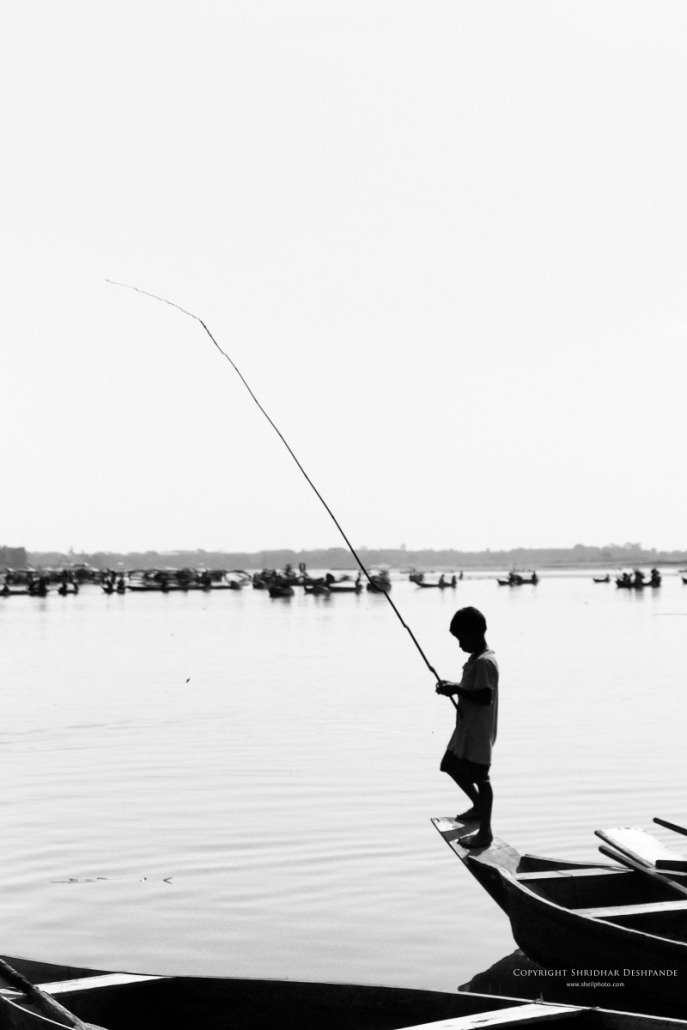
On the banks everybody is fishing. In fact, everybody is fishing, whether in a boat or on the shore.
The sleek canoes lined up along the shore looked just beautiful.
We decided to take a boat ride. During the ride, the boat man told us that it had rained heavily throughout the previous night. This resulted into getting lot of gravel in the water. Basically after going halfway he told us that we would not see the transparent river! Not so fair, but that’s how it was.
The sun was hot on head, and the water was not clear. And yet the boat ride was enjoyable.
Everyone is fishing !
Canoe resting at “the Island”
We passed under the tall bridge joining two banks of Umngot. The bridge is a sight to behold.
About 10 min of rowing, and we reached a sandy patch which the locals call the island. And this was the best we could see.
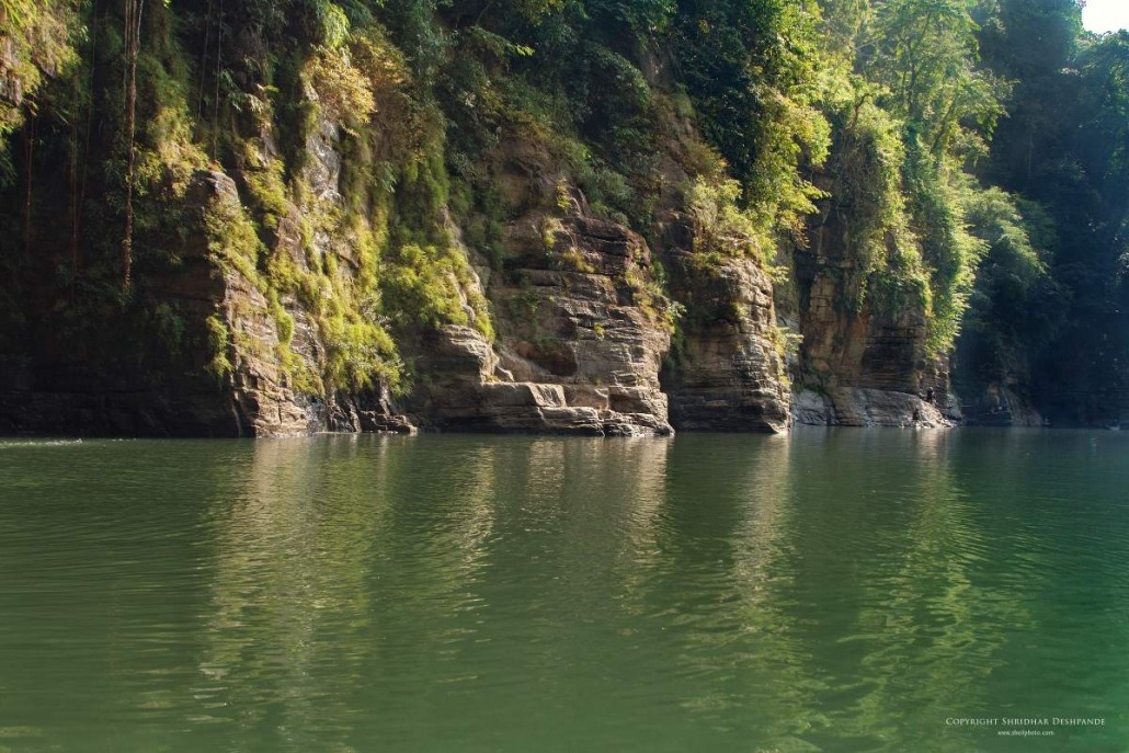
And so we took a turn around and this time the rowed along the opposite bank, passing close to the tall cliffs.
I may not have said it any time before, but I am a geologist by education.
The amazingly slanting and layered schist and slate rocks were a treat to my eyes.
All in all about half an hour boat ride and we were back at the starting point. Climbing up those tall vertical steps, it was time to get back in the car.
Tall bridge at Dawki
Rocky cliffs along shores of Umngot
We decided to visit another place about 45 minutes’ drive from Dawki. A place called Shnongpdeng. Shnongpdeng is further up the river and is known for its camping sites. Tourists come here to stay in tents and enjoy the view of the transparent river in the early morning light. Unfortunately we were short of time.
But the time we reached Shnongpdeng was perfect!
The Sun was getting down, light was turning golden and the river was more transparent then Dawki.
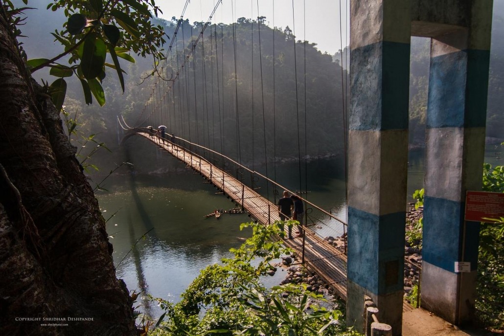
And to add to all this, there was this amazing, long and tall foot suspension bridge that one could walk on.
The emerald river from top of suspension bridge
Long suspension bridge at Shnongpdeng
Looking at the river from the top was almost unbelievable.
The water which I guessed would be not more than 6 to 7 feet deep, was in fact a lot deeper.
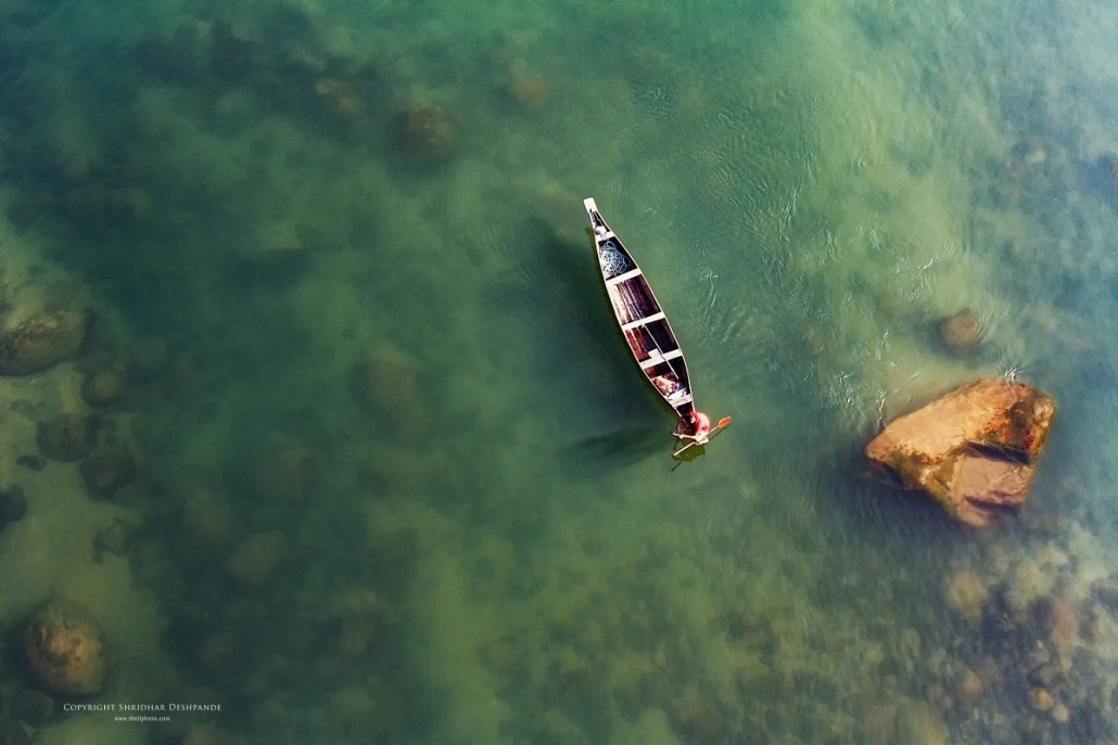
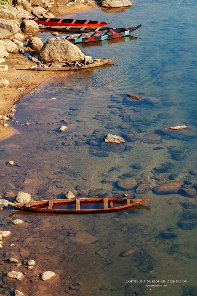
As you can see in the photographs, the boulders on the rocks at the river bed are quite clearly seen.
The long walk on the suspension bridge was an experience by itself. The swaying of the bridge with every gush of wind made taking photographs both challenging and enjoyable. Walking to and fro on the bridge from one bank to another was sheer joy, every step, every click of it.
Colours of canoes and riverbed at Shnongpdeng
The boat flower in Umngot river
Umngot is a spectacle, to say the least.
I would have spent another few days just taking photos! But then the long road back and the foggy conditions forced us to start back soon.


